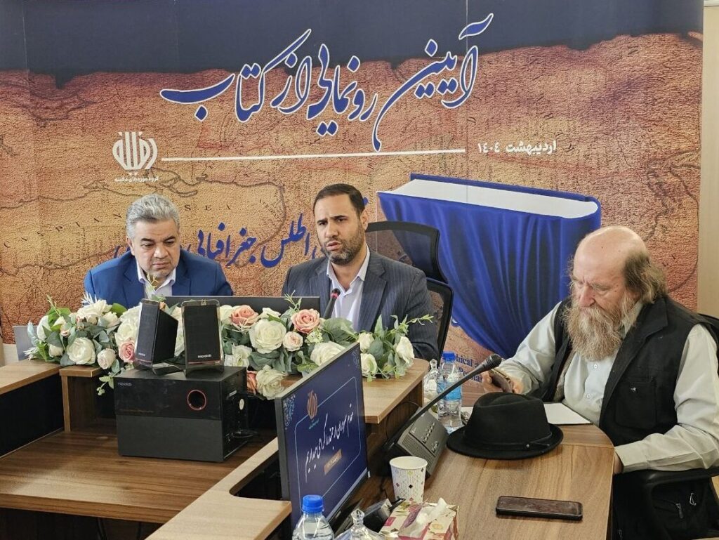
TEHRAN – The first ever geographical atlas of the Persian Gulf was officially announced at a ceremony hosted by the Mashzafan Foundation on Wednesday, marking an important academic milestone in documenting the area’s maritime heritage.
Hamidreza Soleimani, CEO of the Dafeeneh Museums Institute, described the Atlas as representing the “oldest maritime culture in the world.” He said the volume includes 35 historical maps created by European geographers over the past four centuries.
Addressing the assembly, Soleimani emphasized the academic accuracy behind the project, saying, “This book served as an important academic reference and was printed for the first time in the form of a book. Given the sensitivity and historical weight of the subject, all maps included were carefully examined by relevant authorities and institutions.”
The Atlas was compiled and published through collaborations with several key institutions, including the Iranian parliamentary Research Centre, military geographical institutions, and departments within the Ministry of Cultural Heritage and the Ministry of Foreign Affairs.

Soleimani also announced future plans to expand the project, revealing that additional volumes will be made public based on available historical sources.
He added that 50 historical maps of the Persian Gulf and three contested islands will soon be made public at the Duffine Museum.
The unveiling event includes the pathetic dol of a recent incident at Shahid Rajaei port in southern Iran, reflecting a moment of gloomy solidarity amidst the cultural celebration.
The unveiling ceremony was held on the 10th day of Ordibehesht in the Iranian calendar (April 30th this year) along with National Day of the Persian Gulf, which is observed annually.
The occasion commemorates the history, name and importance of the region. It also marks the historic 1622 victory when the Safavid Empire and the British East India companies expelled Portuguese forces from the Straits of Hormuz.
morning

